-
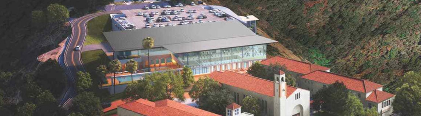
MOUNT ST. MARY’S -
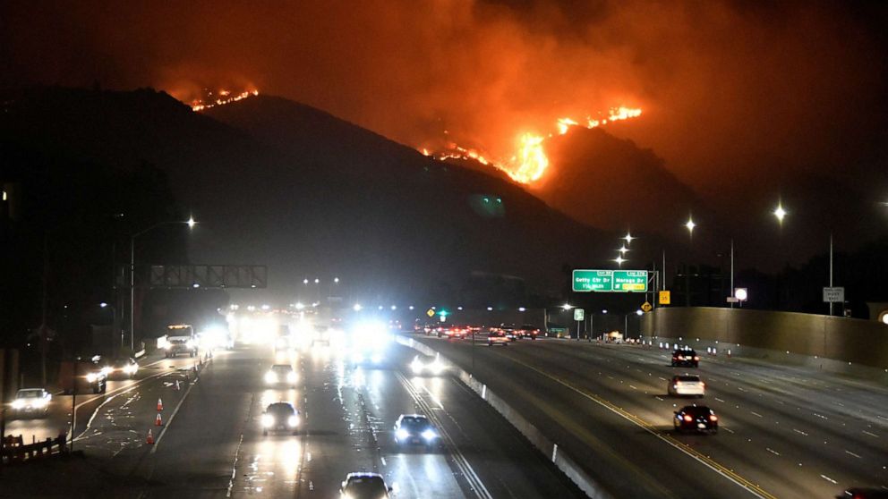
FIRE SAFETY -
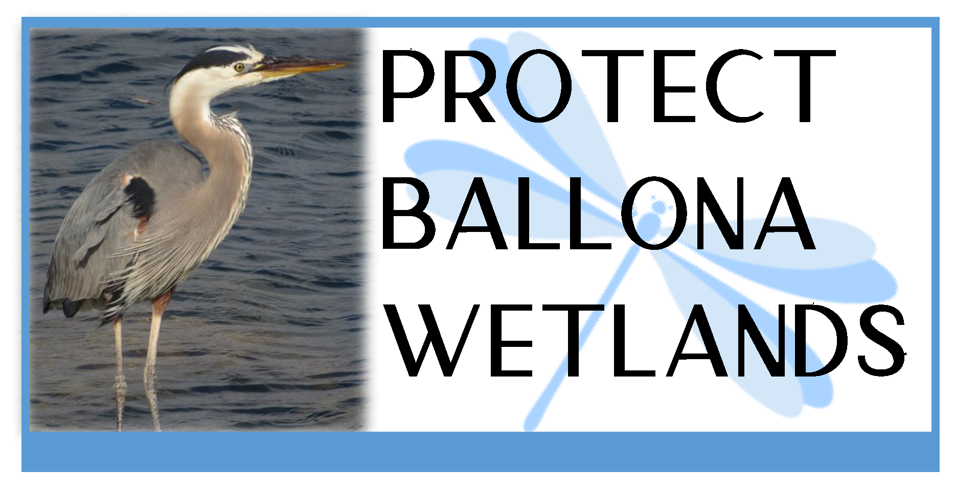
BALLONA WETLANDS -
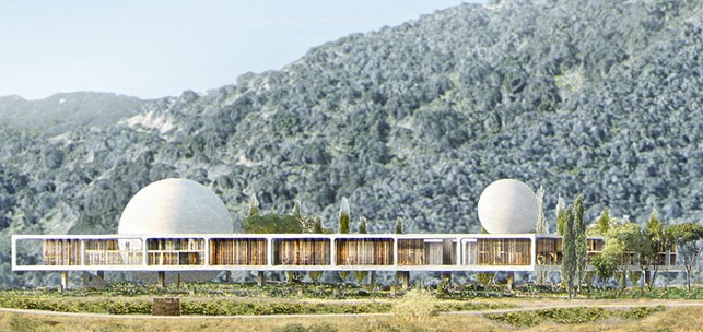
BERGGRUEN -
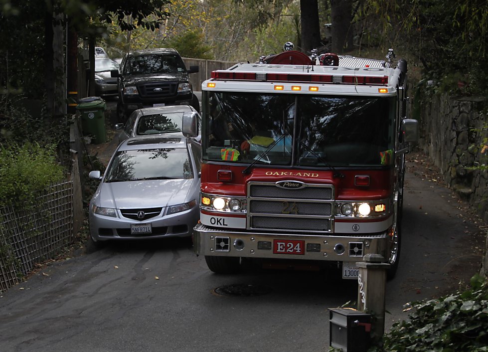
STATE ALLIANCE FOR FIRESAFE ROAD REGULATIONS
Canyon Back Alliance Victories
✔ Canyon Back Alliance halts dangerous bypass trail project over Mandeville Canyon. Learn more here.
✔ Canyon Back Alliance stops city from gating public trail on canyonback road. Learn more here.
✔ Canyon Back Alliance saves two historic trails and 424 acres of open space. Learn more here.
✔ Canyon Back Alliance participates in dedication of scenic trail. Learn more here.
✔ Canyon Back Alliance saves historic Mulholland Bridge. Learn more here.